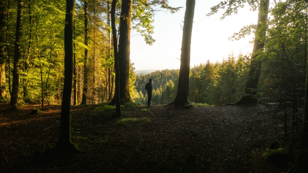
Hiking route: Dronninglund Storskov - 3.5 km or 6 km "mountain range"
'Bøgeskovsruten' is ideal for nature lovers who want a peaceful and varied hike in the North Jutland countryside.
Along the way, the trail leads you through dense beech forest and hilly terrain, where you can experience the peaceful atmosphere and varied landscape that Dronninglund Storskov is known for. The route is a scenic hiking route, marked in yellow, offering both a shorter stretch of 3.5 km and a longer one of up to 6 km. The route starts at the parking lot at Storskovvej 21, 9330 Dronninglund. The route is part of the local "Climb the Mountains" concept and passes several of the forest's highlights, including Knøsen, Vendsyssel's highest point at 136 meters above sea level.
If you walk the 6 km route, you'll climb a mountain range in Danish style, where you'll pass 6 "mountains". The first "mountain" on the tour is Knaghøj, and then it's on to the second peak of the tour, Sørensens Bakke. Once you've crossed Kobberdalen, Sdr. Ørnebakke must be climbed, and before you know it, you're at the fourth peak, Nr. Ørnebakke. Then the route takes you past the Troll Stone, the Chapel and the Love Beech - the names alone are enticing. From there, follow the Love Trail to the penultimate peak, Mørkhøj. All you need is the highlight of the trip - literally: Knøsen, the highest point in Northeast Jutland. Enjoy the view before you head for the parking lot.
Read more about Dronninglund Storskov's hiking routes in the brochure "Hiking in private forests - Dronninglund Storskov" (Danish).